Defense Summit
Voor, door en met Defensie
Defense Summit is weer terug van weg geweest. Op donderdag 11 mei aanstaande verzorgen we een volledig op Defensie gericht programma, met daarin een mooie mix aan presentaties, hands on workshops en natuurlijk voldoende netwerkmogelijkheden.
Nu Aanmelden
Je kunt je vanaf nu aanmelden voor deze dag, via onderstaande link. Wacht niet te lang, het aantal plaatsen is beperkt, toelating vindt plaats op volgorde van inschrijving.
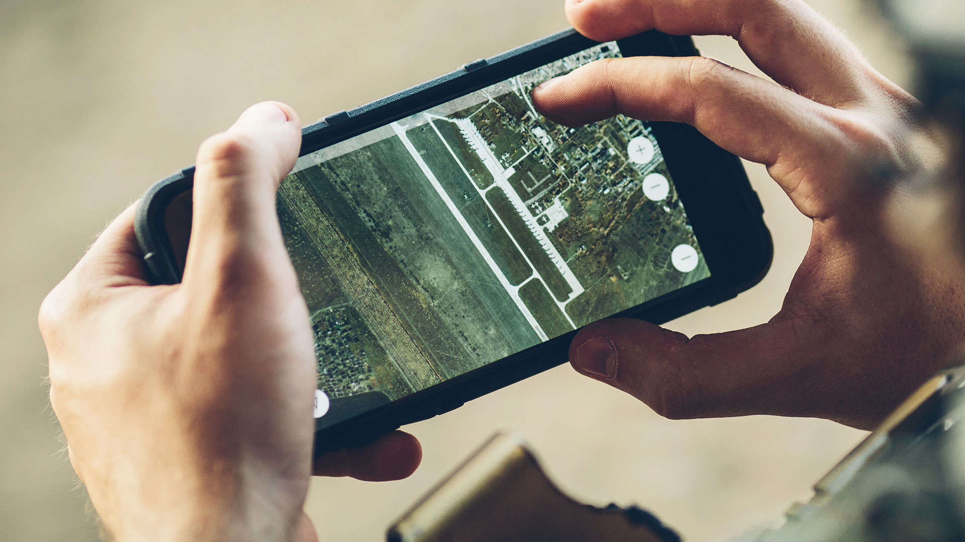
M.App X – Geo-analyse anno 2022
M.App X levert hierin een nieuwe standaard, volledig vanuit de browser. M.App X heeft het allemaal, en schakelt naadloos over van 2D naar 3D en terug.
Machine learning in Erdas IMAGINE
Machine Learning (ML) wordt vaak samen met AI gebruikt, maar het is een subset van AI. ML verwijst naar een AI-systeem dat zichzelf kan leren op basis van het algoritme.
Vorige slide
Volgende slide
Defense Summit is terug van weg geweest!
Patrick de Groot, Commercial director, IMAGEM
Wat te verwachten?
Defense Summit is een dag die volledig in het teken staat van geo toepassingen bij Defensie. We belichten de nieuwste software ontwikkelingen, je kan hands-on kennismaken met een Defensie gerelateerde oplossing en we hebben ook voldoende tijd om met elkaar van gedachten te wisselen en bij te praten. Een gevarieerd programma, die we afsluiten met een gezellige borrel. We zijn met ons volledige Defensie kernteam en andere collega’s aanwezig om jou te helpen. We zien er naar uit iedereen weer gewoon ‘live’ te ontmoeten!

machine learning
Van één applicatie tot volledige architectuur, wij helpen je met de stappen.

M.appx
Een compleet nieuwe standaard, volledig vanuit de browser.

datagedreven
Snellere en beter onderbouwde besluitvorming met jouw data
Meld je nu aan voor deze dag
Voor, door en met defensie. Je kunt je vanaf nu aanmelden voor deze dag. Toegang is enkel mogelijk voor defensiepersoneel. Wacht niet te lang, het aantal plaatsen is beperkt, toelating vindt plaats op volgorde van inschrijving.