From a complex question to clear insight
In many organizations, data, space, policy, and social interests all come together in a single issue. This makes decision-making complex.
IMAGEM helps to make sense of that complexity. By combining domain expertise with data and smart technology, we provide clarity and direction for decision-making.
Curious to see how that approach works in practice?
Our solutions
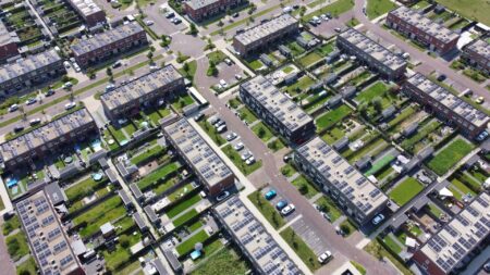
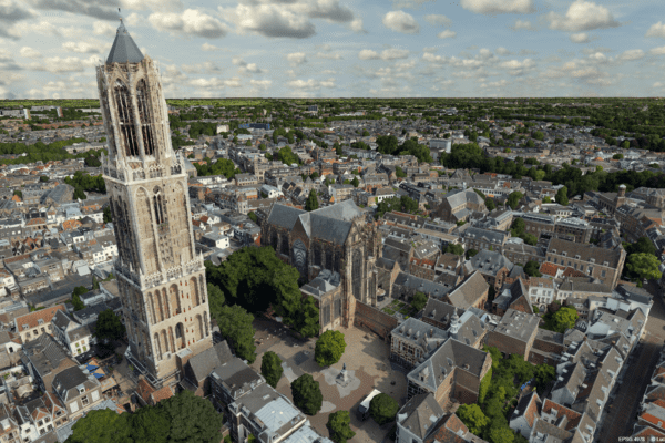
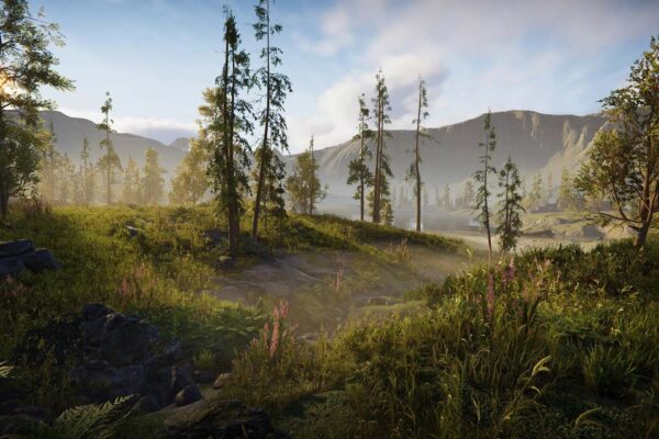
More than just a replica of the physical world
Making decisions based solely on the current situation is often not enough. You would not only want to see what the situation looks like, but also to understand what is possible and what the implications of different choices are. With a digital twin, you get a realistic and up-to-date view of the physical environment, where you can explore scenarios, test plans, and immediately see the effects. This provides insight that goes beyond mere visualization, allowing you to make decisions faster, more effectively, and more cost-efficiently.
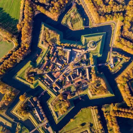
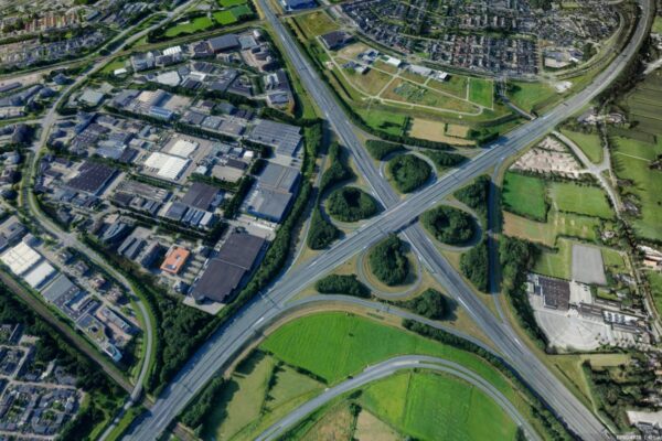
Make better decisions with data from up above
Remote sensing provides fast and accurate insights into the real world without having to physically visit the area. Using satellites, drones, aircraft, and sensor networks, we collect data using sensors such as optical, thermal, radar, and LiDAR. This information is combined with open data, computational models, and AI, and analyzed to support decision-making. At IMAGEM, we combine this data with our expertise, ensuring you always work with reliable and up-to-date imagery. This allows you to make better-informed decisions regarding urban development, environmental management, permitting, and oversight & enforcement.
Current
All articles
Remote sensing 5: From Data to Dashboard in Capelle aan den IJssel
Before we can visualize anything in a digital twin, we first need to understand what we’re actually looking at. Without that foundation, visualizations are nothing more than pretty pictures. In part four of the series, Harald takes a step back to the beginning: observation itself. Not just via satellites or drones, but also with our own eyes. Remote sensing with observation—knowing who is looking, why, and with what instrument. Only then can you combine data into information that is accurate, meaningful, and usable.
From drone data to actionable 3D insights
Fast and reliable information makes all the difference when it counts. Yet in practice, drone data often remains scattered across individual images, separate software steps, and fragmented workflows. IMAGEM and Skyline are changing that. Through an equal partnership, we combine data collection, 3D processing, centralized data management, and visualization into a single integrated workflow.
A digital twin for all
Policy-making is a complex process due to fragmented data and time-consuming procedures. Digital twins a solution, but require specialized knowledge and technical expertise. IMAGEM technology, expertise, and a practical approach, making digital twins accessible and immediately usable for municipalities.
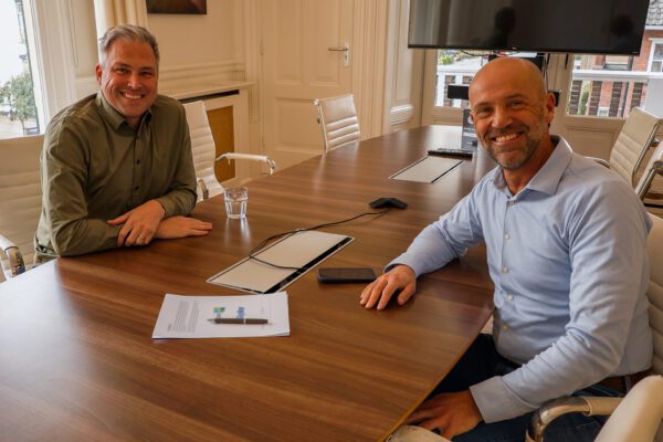
Two people celebrating anniversaries, one story
This year, two colleagues are celebrating special anniversaries at IMAGEM: Niels van de Graaf, Government Market Manager, has been with us for 10 years, and Syreetha Nuhuway, Operations Specialist and jack-of-all-trades, has been with the company for 5 years. This is a great opportunity to reflect on their work, their growth, and, above all, the people behind these roles.
From Games to the Globe: How 3D Engines Are Conquering the World
3D technology is now being used for real-world applications: from smart cities to air traffic control. But how can an engine that was once designed to bring virtual worlds to life suddenly become crucial for large-scale geospatial projects? In this article, we explore the striking differences between geo-engines and game engines. Because when it comes to accuracy, scale, and reliability, a geo-engine like Luciad turns out to operate Luciad a completely different league.
Harald & Tjip and How AI remote sensing Support remote sensing (E12)
In the latest episode of the Geospeciale Podcast, Harald Gortz and Tjip van Dale discuss the rise of Agentic AI in remote sensing. Using relatable real-world examples—from timber deliveries to manure silos and waterways—they demonstrate how AI systems are becoming increasingly autonomous.
Niels & Stefan on digital twins Practice (E11)
In the Geospecial podcast "To digital twin Not to digital twin ," Niels and Stefan digital twin what they encounter in practice. They explain how municipalities and government agencies are increasingly discovering how 3D models help not only to visualize plans but also to immediately assess them against policies, standards, and objectives. They also share current examples, insights, and technological developments related to digital twins.

Remote sensing 4: First Observe, Then Visualize in Ezinge
Before we can visualize anything in a digital twin, we first need to understand what we’re actually looking at. Without that foundation, visualizations are nothing more than pretty pictures. In part four of the series, Harald takes a step back to the beginning: observation itself. Not just via satellites or drones, but also with our own eyes. Remote sensing with observation—knowing who is looking, why, and with what instrument. Only then can you combine data into information that is accurate, meaningful, and usable.
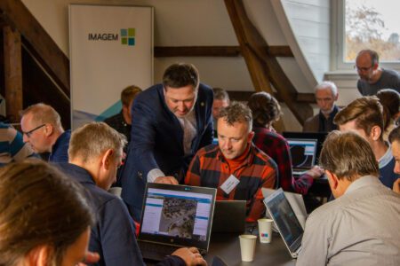
Collaborating on data-driven decision-making
Behind IMAGEM there is a team of passionate specialists who bring forward domain expertise, data, and technology. By combining these elements in a smart way, we translate complex challenges into clear insights and concrete solutions. This enables you to gain greater control, make better decisions, and create a lasting impact on the living environment.